METAR-TAF
Airports :
Robert L. Bradshaw International Airport
Basseterre, Saint Kitts and Nevis
latitude: 17-18N, longitude: 062-41W, elevation: 48 m
Current weather observation
The report was made 3 hours and 52 minutes ago, at 01:00 UTC
Wind 12 kt from the East
Temperature 28°C
Humidity 79%
Pressure 1017 hPa
Visibility 10 km or more
Few clouds at a height of 1800 ft
METAR: TKPK 010100Z 09012KT 9999 FEW018 28/24 Q1017
Time: 00:52 (04:52 UTC)
Forecast
The report was made 5 hours and 52 minutes ago, at 23:00 UTC
Forecast valid from 01 at 00 UTC to 01 at 24 UTC
Wind 15 kt from the East
Visibility 10 km or more
Scattered clouds at a height of 1800 ft
Probability 40% :
Temporary
from 01 at 08 UTC to 01 at 14 UTC
from 01 at 08 UTC to 01 at 14 UTC
Wind 15 kt from the East with gusts up to 25 kt
Visibility: 4000 m
Few clouds at a height of 1400 ft, Cumulonimbus.
Broken clouds at a height of 1600 ft
Broken clouds at a height of 1600 ft
thunderstorm, rain
Temporary
from 01 at 14 UTC to 01 at 20 UTC
from 01 at 14 UTC to 01 at 20 UTC
Wind 15 kt from the East with gusts up to 25 kt
Visibility: 3000 m
Few clouds at a height of 1200 ft, Cumulonimbus.
Broken clouds at a height of 1600 ft
Broken clouds at a height of 1600 ft
thunderstorm, rain
TAF: TKPK 312300Z 0100/0124 09015KT 9999 SCT018 PROB40 TEMPO 0108/0114 09015G25KT 4000 TSRA FEW014CB BKN016 TEMPO 0114/0120 09015G25KT 3000 TSRA FEW012CB BKN016
Weather observations and forecasts of more than 4000 airports (METAR and TAF reports).
The available stations are represented by yellow and red dots on the map.
Hover mouse over dot to see the name of the station.
Then click to see weather observations and forecasts.
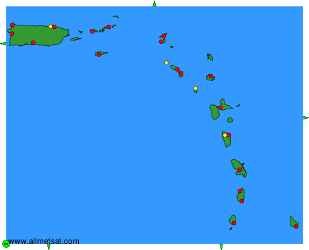
To change the map : click on the green buttons with a black cross to zoom in, on the green button with a dash to zoom out, or on the green arrows for adjacent maps.