METAR-TAF
Airports :
Princess Juliana International Airport
Sint Maarten, Netherlands Antilles
latitude: 18-03N, longitude: 063-07W, elevation: 4 m
Current weather observation
The report was made 33 minutes ago, at 18:00 UTC
Wind 9 kt from the East
Temperature 31°C
Humidity 59%
Pressure 1018 hPa
Visibility 10 km or more
Few clouds at a height of 2200 ft
METAR: TNCM 151800Z 10009KT 9999 FEW022 31/22 Q1018 NOSIG
Time: 14:33 (18:33 UTC)
Forecast
The report was made 1 hour and 48 minutes ago, at 16:45 UTC
Forecast valid from 15 at 18 UTC to 16 at 18 UTC
Wind 10 kt from the East
Visibility 10 km or more
Scattered clouds at a height of 1800 ft
Probability 30% :
Temporary
from 15 at 18 UTC to 18 at 21 UTC
from 15 at 18 UTC to 18 at 21 UTC
Visibility: 8000 m
Broken clouds at a height of 1500 ft
rain showers,
TAF: TNCM 151645Z 1518/1618 09010KT 9999 SCT018 PROB30 TEMPO 1518/1821 8000 SHRA BKN015
Weather observations and forecasts of more than 4000 airports (METAR and TAF reports).
The available stations are represented by yellow and red dots on the map.
Hover mouse over dot to see the name of the station.
Then click to see weather observations and forecasts.
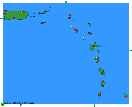
To change the map : click on the green buttons with a black cross to zoom in, on the green button with a dash to zoom out, or on the green arrows for adjacent maps.