METAR: CYGR 282100Z 11007KT 060V140 20SM BKN006 BKN270 17/15 A2983 RMK SC6CI1 SLP103 DENSITY ALT 400FT
Time: 17:21 (21:21 UTC)
Forecast
The report was made 1 hour and 41 minutes ago, at 19:40 UTC
Forecast valid from 28 at 20 UTC to 29 at 02 UTC
Wind 8 kt from the East
Visibility: 10 km
Broken clouds at a height of 700 ft
Temporary from 28 at 20 UTC to 28 at 24 UTC
Scattered clouds at a height of 700 ft
From 29 at 0000 UTC
Wind 8 kt from the East
Visibility: 9.7 km
Broken clouds at a height of 700 ft
mist
Temporary from 29 at 00 UTC to 29 at 02 UTC
Visibility: 3.2 km
Broken clouds at a height of 300 ft
mist
TAF: CYGR 281940Z 2820/2902 08008KT P6SM BKN007 TEMPO 2820/2824 SCT007 FM290000 08008KT 6SM BR BKN007 TEMPO 2900/2902 2SM BR BKN003 RMK NXT FCST BY 291100Z
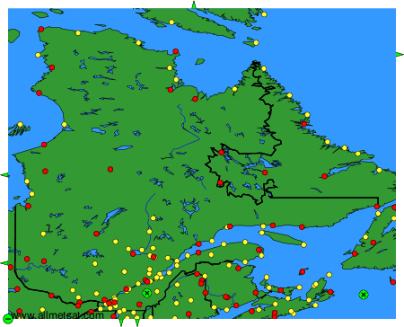
Weather observations and forecasts of more than 4000 airports (METAR and TAF reports).
The available stations are represented by yellow and red dots on the map.
Hover mouse over dot to see the name of the station.
Then click to see weather observations and forecasts.
To change the map : click on the green buttons with a black cross to zoom in, on the green button with a dash to zoom out, or on the green arrows for adjacent maps.