METAR: CYGV 261100Z AUTO 06008KT 9SM CLR 17/15 A2997 RMK SLP152 DENSITY ALT 400FT
Time: 07:29 (11:29 UTC)
Forecast
The report was made 3 hours and 47 minutes ago, at 07:42 UTC
Forecast valid from 26 at 08 UTC to 26 at 20 UTC
Wind 5 kt from the East/Northeast
Visibility: 10 km
Few clouds at a height of 300 ft
Probability 30% from 26 at 08 UTC to 26 at 11 UTC
Visibility: 1.6 km
Broken clouds at a height of 300 ft
mist
From 26 at 1100 UTC
Wind 6 kt from the East
Visibility: 10 km
Scattered clouds at a height of 6000 ft
Becoming from 26 at 13 UTC to 26 at 15 UTC
Wind 7 kt from the South/Southeast
TAF: CYGV 260742Z 2608/2620 07005KT P6SM FEW003 PROB30 2608/2611 1SM BR BKN003 FM261100 09006KT P6SM SCT060 BECMG 2613/2615 15007KT RMK FCST BASED ON AUTO OBS. NXT FCST BY 261400Z
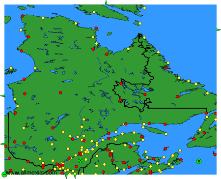
Weather observations and forecasts of more than 4000 airports (METAR and TAF reports).
The available stations are represented by yellow and red dots on the map.
Hover mouse over dot to see the name of the station.
Then click to see weather observations and forecasts.
To change the map : click on the green buttons with a black cross to zoom in, on the green button with a dash to zoom out, or on the green arrows for adjacent maps.