METAR: CYKL 192300Z AUTO 16007KT 9SM BKN160 M17/M22 A3001 RMK SLP233
Time: 19:55 (23:55 UTC)
Forecast
The report was made 4 hours and 15 minutes ago, at 19:40 UTC
Forecast valid from 19 at 20 UTC to 20 at 08 UTC
Wind 10 kt from the South
Visibility: 10 km
Broken clouds at a height of 2500 ft Overcast at a height of 10000 ft
Temporary from 19 at 20 UTC to 20 at 04 UTC
Visibility: 8.0 km
Broken clouds at a height of 2000 ft Overcast at a height of 8000 ft
light snow
From 20 at 0400 UTC
Wind 5 kt from the South
Visibility: 10 km
Overcast at a height of 3000 ft
light snow
Temporary from 20 at 04 UTC to 20 at 08 UTC
Visibility: 4.8 km
Overcast at a height of 2000 ft
light snow
Probability 30% from 20 at 04 UTC to 20 at 08 UTC
Visibility: 3.2 km
light snow showers
TAF: CYKL 191940Z 1920/2008 17010KT P6SM BKN025 OVC100 TEMPO 1920/2004 5SM -SN BKN020 OVC080 FM200400 17005KT P6SM -SN OVC030 TEMPO 2004/2008 3SM -SN OVC020 PROB30 2004/2008 2SM -SHSN RMK FCST BASED ON AUTO OBS. AUTO OBS REP NON-REPRESENTATIVE PCPN. NXT FCST BY 200200Z
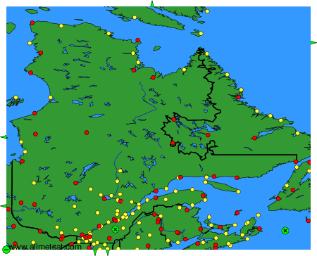
Weather observations and forecasts of more than 4000 airports (METAR and TAF reports).
The available stations are represented by yellow and red dots on the map.
Hover mouse over dot to see the name of the station.
Then click to see weather observations and forecasts.
To change the map : click on the green buttons with a black cross to zoom in, on the green button with a dash to zoom out, or on the green arrows for adjacent maps.