METAR-TAF
Airports :
Montréal–Mirabel International Airport
Montreal-Mirabel, Quebec, Canada
latitude: 45-41N, longitude: 074-02W, elevation: 82 m
Current weather observation
Broken clouds at a height of 17000 ft
Overcast at a height of 20000 ft
METAR: CYMX 020600Z 00000KT 25SM SCT075 BKN170 OVC200 20/20 A2987 RMK AC3AC4CI1 SLP116 DENSITY ALT 1000FT
Time: 02:29 (06:29 UTC)
Forecast
Broken clouds at a height of 21000 ft
from 02 at 06 UTC to 02 at 11 UTC
Broken clouds at a height of 8000 ft
from 02 at 17 UTC to 02 at 18 UTC
Overcast at a height of 4000 ft, Cumulonimbus.
Broken clouds at a height of 4000 ft
from 02 at 20 UTC to 02 at 22 UTC
Broken clouds at a height of 2000 ft
Overcast at a height of 3000 ft, Cumulonimbus.
from 02 at 22 UTC to 02 at 24 UTC
Overcast at a height of 3000 ft, Cumulonimbus.
Overcast at a height of 2000 ft
Overcast at a height of 3000 ft
from 03 at 03 UTC to 03 at 06 UTC
TAF: CYMX 020540Z 0206/0306 VRB03KT P6SM FEW090 BKN210 PROB30 0206/0211 1SM BR BKN004 FM021500 07005KT P6SM -SHRA BKN060 BKN080 PROB30 0217/0218 VRB15G25KT 3SM TSRA BR BKN020 OVC040CB FM021800 07008KT P6SM BKN040 FM022000 VRB03KT 3SM SHRA BR BKN020 BKN040 PROB40 0220/0222 VRB20G35KT 1SM +TSRA BR BKN008 BKN020 OVC030CB FM022200 VRB03KT P6SM -SHRA BKN060 PROB30 0222/0224 VRB15G25KT 2SM +TSRA BR BKN020 OVC030CB FM030000 VRB03KT 2SM SHRA BR BKN004 OVC020 FM030300 VRB03KT P6SM -RA FEW004 OVC030 PROB30 0303/0306 2SM -SHRA BR BKN004 RMK NXT FCST BY 021200Z
Weather observations and forecasts of more than 4000 airports (METAR and TAF reports).
The available stations are represented by yellow and red dots on the map.
Hover mouse over dot to see the name of the station.
Then click to see weather observations and forecasts.
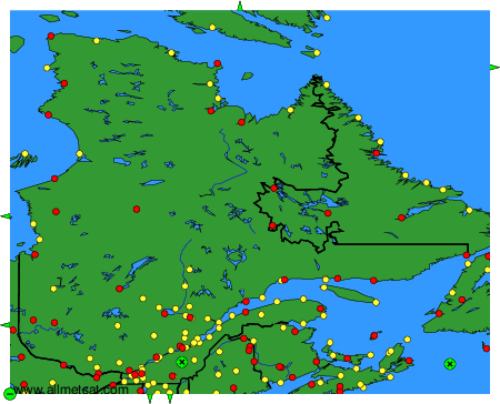
To change the map : click on the green buttons with a black cross to zoom in, on the green button with a dash to zoom out, or on the green arrows for adjacent maps.