Main page
METAR-TAF:

METAR-TAF

Airports :

Val-d'Or Airport

Val-d'Or, Quebec, Canada

latitude: 48-04N, longitude: 077-47W, elevation: 337 m

Current weather observation

The report was made 54 minutes ago, at 15:00 UTC
Wind 13 kt from the West/Northwest with gusts up to 23 kt
Temperature -19°C
Humidity 70%
Pressure 1000 hPa
Visibility: 2.4 km
Overcast at a height of 2100 ft
light snow, Low drifting snow

METAR: CYVO 171500Z 30013G23KT 1 1/2SM -SN DRSN OVC021 M19/M23 A2952 RMK SC8 PRESRR SLP030

Time: 11:54 (15:54 UTC)

Forecast

The report was made 4 hours and 14 minutes ago, at 11:40 UTC
Forecast valid from 17 at 12 UTC to 17 at 24 UTC
Wind 10 kt from the West/Northwest with gusts up to 20 kt
Visibility: 2.4 km
at a height of 1500 ft
light snow, Blowing snow
Temporary
from 17 at 12 UTC to 17 at 14 UTC
Visibility: 1.6 km
Overcast at a height of 2000 ft
light snow
From 17 at 1400 UTC
Wind 15 kt from the West/Northwest with gusts up to 25 kt
Visibility: 1.6 km
Broken clouds at a height of 3000 ft
Overcast at a height of 7000 ft
Blowing snow
Temporary
from 17 at 14 UTC to 17 at 19 UTC
Visibility: 1.6 km
Overcast at a height of 2000 ft
light snow, Blowing snow
From 17 at 1900 UTC
Wind 10 kt from the West/Northwest with gusts up to 20 kt
Visibility: 10 km
Broken clouds at a height of 3000 ft
Broken clouds at a height of 8000 ft
Temporary
from 17 at 19 UTC to 17 at 24 UTC
Visibility: 1.6 km
light snow

TAF: CYVO 171140Z 1712/1724 29010G20KT 1 1/2SM -SN BLSN VV015 TEMPO 1712/1714 3SM -SN OVC020 FM171400 30015G25KT 6SM BLSN BKN030 OVC070 TEMPO 1714/1719 2SM -SN BLSN OVC020 FM171900 30010G20KT P6SM BKN030 BKN080 TEMPO 1719/1724 4SM -SN RMK NXT FCST BY 171800Z

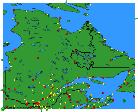
Weather observations and forecasts of more than 4000 airports (METAR and TAF reports).

The available stations are represented by yellow and red dots on the map.

Hover mouse over dot to see the name of the station.

Then click to see weather observations and forecasts.

To change the map : click on the green buttons with a black cross to zoom in, on the green button with a dash to zoom out, or on the green arrows for adjacent maps.


METAR-TAF: