The report was made 17 hours and 50 minutes ago, at 13:40 UTC
Forecast valid from 14 at 14 UTC to 14 at 21 UTC
Wind 25 kt from the Southwest with gusts up to 35 kt
Visibility: 10 km
Few clouds at a height of 1000 ft Few clouds at a height of 2500 ft Broken clouds at a height of 30000 ft
Temporary from 14 at 14 UTC to 14 at 21 UTC
Visibility: 8.0 km
ice crystals, Blowing snow
TAF: CYZG 141340Z 1414/1421 22025G35KT P6SM FEW010 FEW025 BKN300 TEMPO 1414/1421 5SM IC BLSN RMK NXT FCST BY 151400Z
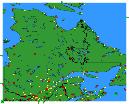
Weather observations and forecasts of more than 4000 airports (METAR and TAF reports).
The available stations are represented by yellow and red dots on the map.
Hover mouse over dot to see the name of the station.
Then click to see weather observations and forecasts.
To change the map : click on the green buttons with a black cross to zoom in, on the green button with a dash to zoom out, or on the green arrows for adjacent maps.