The report was made 1 hour and 29 minutes ago, at 06:18 UTC
Forecast valid from 11 at 06 UTC to 11 at 14 UTC
Wind 15 kt from the North/Northwest with gusts up to 28 kt
Visibility: 1.6 km
Scattered clouds at a height of 800 ft Overcast at a height of 1500 ft
light snow
Temporary from 11 at 06 UTC to 11 at 14 UTC
Visibility: 9.7 km
Scattered clouds at a height of 1000 ft Overcast at a height of 2500 ft
light snow
TAF: CZUM 110618Z 1106/1114 34015G28KT 1SM -SN SCT008 OVC015 TEMPO 1106/1114 6SM -SN SCT010 OVC025 RMK FCST BASED ON AUTO OBS. NXT FCST BY 110800Z
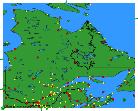
Weather observations and forecasts of more than 4000 airports (METAR and TAF reports).
The available stations are represented by yellow and red dots on the map.
Hover mouse over dot to see the name of the station.
Then click to see weather observations and forecasts.
To change the map : click on the green buttons with a black cross to zoom in, on the green button with a dash to zoom out, or on the green arrows for adjacent maps.