METAR-TAF
Airports :
Newcastle Airport
Newcastle upon Tyne, England
latitude: 55-02N, longitude: 001-42W, elevation: 81 m
Current weather observation
The report was made 13 minutes ago, at 09:20 UTC
Wind 9 kt from the East/Northeast, varying between North/Northeast and East
Temperature 19°C
Humidity 52%
Pressure 1028 hPa
Visibility 10 km or more
Few clouds at a height of 4600 ft
METAR: EGNT 210920Z 07009KT 030V100 9999 FEW046 19/09 Q1028
Time: 10:33 (09:33 UTC)
Forecast
The report was made 4 hours and 33 minutes ago, at 05:00 UTC
Forecast valid from 21 at 06 UTC to 22 at 06 UTC
Wind 4 kt from the West
Visibility 10 km or more
Few clouds at a height of 4500 ft
Becoming
from 21 at 07 UTC to 21 at 10 UTC
from 21 at 07 UTC to 21 at 10 UTC
Wind 10 kt from the East/Northeast
Becoming
from 21 at 17 UTC to 21 at 20 UTC
from 21 at 17 UTC to 21 at 20 UTC
Wind 5 kt from the East/Southeast
Probability 30% :
Temporary
from 21 at 18 UTC to 22 at 03 UTC
from 21 at 18 UTC to 22 at 03 UTC
Broken clouds at a height of 900 ft
TAF: EGNT 210500Z 2106/2206 26004KT 9999 FEW045 BECMG 2107/2110 06010KT BECMG 2117/2120 12005KT PROB30 TEMPO 2118/2203 BKN009
Weather observations and forecasts of more than 4000 airports (METAR and TAF reports).
The available stations are represented by yellow and red dots on the map.
Hover mouse over dot to see the name of the station.
Then click to see weather observations and forecasts.
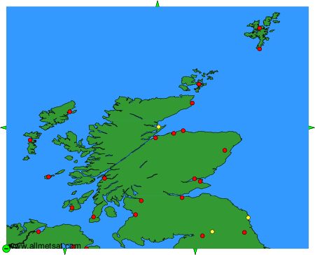
To change the map : click on the green buttons with a black cross to zoom in, on the green button with a dash to zoom out, or on the green arrows for adjacent maps.