METAR-TAF
Airports :
Teesside International Airport
Durham, England
latitude: 54-31N, longitude: 001-25W, elevation: 37 m
Current weather observation
The report was made 20 minutes ago, at 21:20 UTC
Wind 9 kt from the West
Temperature 17°C
Humidity 68%
Pressure 1008 hPa
Visibility 10 km or more
METAR: EGNV 262120Z AUTO 28009KT 9999 NCD 17/11 Q1008
Time: 22:40 (21:40 UTC)
Forecast
The report was made 1 hour and 45 minutes ago, at 19:55 UTC
Forecast valid from 26 at 21 UTC to 27 at 06 UTC
Wind 12 kt from the West
Visibility 10 km or more
Few clouds at a height of 3500 ft
TAF: EGNV 261955Z 2621/2706 27012KT 9999 FEW035
Weather observations and forecasts of more than 4000 airports (METAR and TAF reports).
The available stations are represented by yellow and red dots on the map.
Hover mouse over dot to see the name of the station.
Then click to see weather observations and forecasts.
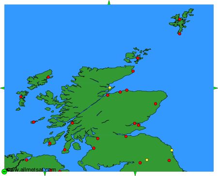
To change the map : click on the green buttons with a black cross to zoom in, on the green button with a dash to zoom out, or on the green arrows for adjacent maps.