METAR-TAF
Airports :
Aberdeen Airport
Aberdeen, Scotland
latitude: 57-12N, longitude: 002-13W, elevation: 65 m
Current weather observation
Scattered clouds at a height of 2800 ft
Overcast at a height of 3400 ft
METAR: EGPD 071020Z AUTO 31011KT 9999 SCT023 SCT028 OVC034 17/13 Q1011
Time: 11:51 (10:51 UTC)
Forecast
Broken clouds at a height of 3500 ft
from 07 at 06 UTC to 07 at 14 UTC
from 07 at 12 UTC to 07 at 15 UTC
from 07 at 14 UTC to 07 at 22 UTC
from 07 at 14 UTC to 07 at 18 UTC
from 08 at 01 UTC to 08 at 06 UTC
from 08 at 02 UTC to 08 at 05 UTC
TAF: EGPD 070455Z 0706/0806 28010KT 9999 SCT020 BKN035 PROB30 TEMPO 0706/0714 8000 -RA BKN014 BECMG 0712/0715 12006KT TEMPO 0714/0722 5000 -DZ BKN008 PROB40 TEMPO 0714/0718 3000 DZ BR BKN005 TEMPO 0801/0806 8000 PROB30 0802/0805 5000 BR
Weather observations and forecasts of more than 4000 airports (METAR and TAF reports).
The available stations are represented by yellow and red dots on the map.
Hover mouse over dot to see the name of the station.
Then click to see weather observations and forecasts.
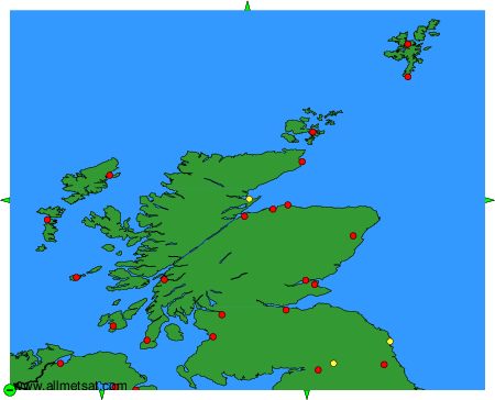
To change the map : click on the green buttons with a black cross to zoom in, on the green button with a dash to zoom out, or on the green arrows for adjacent maps.