METAR-TAF
Airports :
Inverness Airport
Inverness, Scotland
latitude: 57-32N, longitude: 004-03W, elevation: 9 m
Current weather observation
The report was made 21 minutes ago, at 22:20 UTC
Calm wind
Temperature 10°C
Humidity 93%
Pressure 1018 hPa
Visibility 10 km or more
METAR: EGPE 022220Z AUTO 00000KT 9999 NCD 10/09 Q1018
Time: 23:41 (22:41 UTC)
Forecast
The report was made 2 hours and 44 minutes ago, at 19:57 UTC
Forecast valid from 02 at 21 UTC to 03 at 06 UTC
Wind 3 kt from the North/Northeast
Visibility 10 km or more
Scattered clouds at a height of 4500 ft
Probability 30%
from 02 at 23 UTC to 03 at 06 UTC
from 02 at 23 UTC to 03 at 06 UTC
Visibility: 6000 m
TAF: EGPE 021957Z 0221/0306 03003KT 9999 SCT045 PROB30 0223/0306 6000
Weather observations and forecasts of more than 4000 airports (METAR and TAF reports).
The available stations are represented by yellow and red dots on the map.
Hover mouse over dot to see the name of the station.
Then click to see weather observations and forecasts.
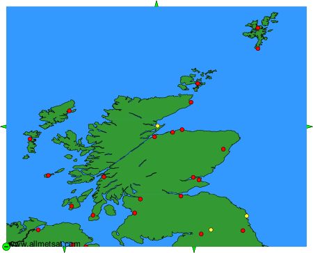
To change the map : click on the green buttons with a black cross to zoom in, on the green button with a dash to zoom out, or on the green arrows for adjacent maps.