METAR-TAF
Airports :
Stornoway Airport
Stornoway, Scotland
latitude: 58-13N, longitude: 006-19W, elevation: 9 m
Current weather observation
The report was made 24 minutes ago, at 12:50 UTC
Wind 4 kt from variable directions
Temperature 14°C
Humidity 77%
Pressure 1018 hPa
Visibility 10 km or more
Few clouds at a height of 1200 ft
Broken clouds at a height of 3600 ft
Broken clouds at a height of 3600 ft
METAR: EGPO 021250Z VRB04KT 9999 FEW012 BKN036 14/10 Q1018
Time: 14:14 (13:14 UTC)
Forecast
The report was made 2 hours and 18 minutes ago, at 10:56 UTC
Forecast valid from 02 at 12 UTC to 02 at 21 UTC
Wind 3 kt from the Southeast
Visibility 10 km or more
Few clouds at a height of 2500 ft
TAF: EGPO 021056Z 0212/0221 14003KT 9999 FEW025
Weather observations and forecasts of more than 4000 airports (METAR and TAF reports).
The available stations are represented by yellow and red dots on the map.
Hover mouse over dot to see the name of the station.
Then click to see weather observations and forecasts.
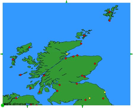
To change the map : click on the green buttons with a black cross to zoom in, on the green button with a dash to zoom out, or on the green arrows for adjacent maps.