METAR-TAF
Airports :
Aba Tenna Dejazmach Yilma International Airport
Dire Dawa, Ethiopia
latitude: 09-36N, longitude: 041-52E, elevation: 1146 m
METAR: missing
Time: 21:59 (18:59 UTC)
Forecast
The report was made 3 hours and 29 minutes ago, at 15:30 UTC
Forecast valid from 04 at 18 UTC to 05 at 24 UTC
Wind 8 kt from the South/Southeast
Visibility 10 km or more
Scattered clouds at a height of 3000 ft
Scattered clouds at a height of 9000 ft
Scattered clouds at a height of 9000 ft
Becoming
from 04 at 18 UTC to 04 at 21 UTC
from 04 at 18 UTC to 04 at 21 UTC
Wind 10 kt from the South/Southeast with gusts up to 20 kt
TAF: HADR 041530Z 0418/0524 15008KT 9999 SCT030 SCT090 BECMG 0418/0421 15010G20KT
Weather observations and forecasts of more than 4000 airports (METAR and TAF reports).
The available stations are represented by yellow and red dots on the map.
Hover mouse over dot to see the name of the station.
Then click to see weather observations and forecasts.
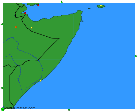
To change the map : click on the green buttons with a black cross to zoom in, on the green button with a dash to zoom out, or on the green arrows for adjacent maps.