METAR-TAF
Airports :
Kimberley Airport
Kimberley, South Africa
latitude: 28-48S, longitude: 024-46E, elevation: 3929 ft
Current weather observation
The report was made 30 minutes ago, at 10:00 UTC
Wind 14 mph from the North/Northwest
Temperature 75°F
Humidity 57%
Pressure 30.33 in. Hg
Visibility 6.2 miles or more
Few clouds at a height of 5000 ft
Scattered clouds at a height of 10000 ft
Scattered clouds at a height of 10000 ft
METAR: FAKM 091000Z 34012KT 9999 FEW050 SCT100 24/15 Q1027 NOSIG
Time: 12:30 (10:30 UTC)
Forecast
The report was made 1 hour and 30 minutes ago, at 09:00 UTC
Forecast valid from 09 at 10 UTC to 09 at 18 UTC
Wind 14 mph from the North
Visibility 6.2 miles or more
Scattered clouds at a height of 3000 ft
Probability 30% :
Temporary
from 09 at 12 UTC to 09 at 16 UTC
from 09 at 12 UTC to 09 at 16 UTC
Few clouds at a height of 4500 ft, Towering cumulus.
TAF: FAKM 090900Z 0910/0918 35012KT 9999 SCT030 TX26/0912Z TN19/0918Z PROB30 TEMPO 0912/0916 FEW045TCU
Weather observations and forecasts of more than 4000 airports (METAR and TAF reports).
The available stations are represented by yellow and red dots on the map.
Hover mouse over dot to see the name of the station.
Then click to see weather observations and forecasts.
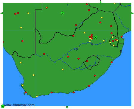
To change the map : click on the green buttons with a black cross to zoom in, on the green button with a dash to zoom out, or on the green arrows for adjacent maps.