The report was made 3 hours and 0 minutes ago, at 16:00 UTC
Forecast valid from 27 at 18 UTC to 28 at 18 UTC
Wind 13 kt from the South/Southeast
Visibility 10 km or more
Few clouds at a height of 1000 ft Broken clouds at a height of 2000 ft
Temporary from 27 at 18 UTC to 28 at 10 UTC
Visibility: 4000 m
Broken clouds at a height of 800 ft
rain showers
Temporary from 28 at 10 UTC to 28 at 12 UTC
light rain showers
From 28 at 1200 UTC
Wind 10 kt from the East/Southeast
Visibility 10 km or more
Scattered clouds at a height of 2000 ft Broken clouds at a height of 3000 ft
Temporary from 28 at 12 UTC to 28 at 18 UTC
Broken clouds at a height of 1800 ft
light rain
TAF: FAPE 271600Z 2718/2818 16013KT 9999 FEW010 BKN020 TX16/2812Z TN12/2802Z TEMPO 2718/2810 4000 SHRA BKN008 TEMPO 2810/2812 -SHRA FM281200 11010KT 9999 SCT020 BKN030 TEMPO 2812/2818 -RA BKN018
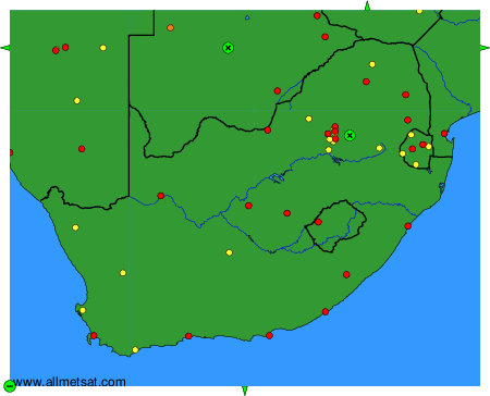
Weather observations and forecasts of more than 4000 airports (METAR and TAF reports).
The available stations are represented by yellow and red dots on the map.
Hover mouse over dot to see the name of the station.
Then click to see weather observations and forecasts.
To change the map : click on the green buttons with a black cross to zoom in, on the green button with a dash to zoom out, or on the green arrows for adjacent maps.