METAR-TAF
Airports :
Polokwane International Airport
Polokwane, South Africa
latitude: 23-50-43S, longitude: 29-27-31E, elevation: 1242 m
Current weather observation
The report was made 36 minutes ago, at 09:00 UTC
Wind 2 kt from the North
Temperature 26°C
Humidity 74%
Pressure 1023 hPa
METAR: FAPP 300900Z AUTO 35002KT //// // ////// 26/21 Q1023
Time: 11:36 (09:36 UTC)
Forecast
The report was made 36 minutes ago, at 09:00 UTC
Forecast valid from 30 at 10 UTC to 30 at 18 UTC
Wind 3 kt from variable directions
Visibility 10 km or more
Broken clouds at a height of 2000 ft
Probability 30% :
Temporary
from 30 at 10 UTC to 30 at 12 UTC
from 30 at 10 UTC to 30 at 12 UTC
Few clouds at a height of 3500 ft, Towering cumulus.
Probability 40% :
Temporary
from 30 at 12 UTC to 30 at 15 UTC
from 30 at 12 UTC to 30 at 15 UTC
Few clouds at a height of 3500 ft, Cumulonimbus.
thunderstorm, light rain
TAF: FAPP 300900Z 3010/3018 VRB03KT 9999 BKN020 TX28/3012Z TN20/3018Z PROB30 TEMPO 3010/3012 FEW035TCU PROB40 TEMPO 3012/3015 -TSRA FEW035CB
Weather observations and forecasts of more than 4000 airports (METAR and TAF reports).
The available stations are represented by yellow and red dots on the map.
Hover mouse over dot to see the name of the station.
Then click to see weather observations and forecasts.
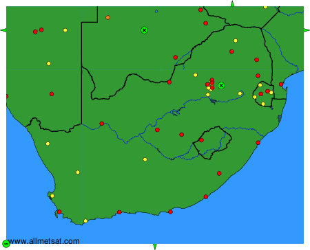
To change the map : click on the green buttons with a black cross to zoom in, on the green button with a dash to zoom out, or on the green arrows for adjacent maps.