METAR-TAF
Airports :
Keetmanshoop Airport
Keetmanshoop, Namibia
latitude: 26-32S, longitude: 018-07E, elevation: 1067 m
Current weather observation
The report was made 50 minutes ago, at 06:00 UTC
Wind 3 kt from the Northeast
Temperature 8°C
Humidity 57%
Pressure 1022 hPa
Visibility 10 km or more
no clouds below 1500 m and no cumulonimbus
METAR: FYKT 120600Z 04003KT CAVOK 08/M00 Q1022
Time: 08:50 (06:50 UTC)
Forecast
The report was made 2 hours and 50 minutes ago, at 04:00 UTC
Forecast valid from 12 at 06 UTC to 13 at 06 UTC
Wind 8 kt from the Southwest
Visibility 10 km or more
no clouds below 1500 m and no cumulonimbus
Becoming
from 12 at 17 UTC to 12 at 19 UTC
from 12 at 17 UTC to 12 at 19 UTC
Wind 7 kt from the South
TAF: FYKT 120400Z 1206/1306 23008KT CAVOK BECMG 1217/1219 17007KT
Weather observations and forecasts of more than 4000 airports (METAR and TAF reports).
The available stations are represented by yellow and red dots on the map.
Hover mouse over dot to see the name of the station.
Then click to see weather observations and forecasts.
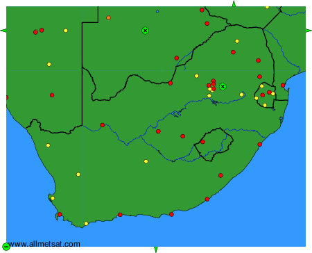
To change the map : click on the green buttons with a black cross to zoom in, on the green button with a dash to zoom out, or on the green arrows for adjacent maps.