METAR-TAF
Airports :
Muan International Airport
Gwangju, South Korea
latitude: 34-59-29N, longitude: 126-22-58E, elevation: 52 ft
Current weather observation
METAR: RKJB 280900Z 28007KT 200V330 CAVOK 26/19 Q1009 NOSIG
Time: 18:19 (09:19 UTC)
Forecast
from 28 at 11 UTC to 28 at 13 UTC
from 28 at 20 UTC to 28 at 21 UTC
from 28 at 23 UTC to 29 at 01 UTC
from 29 at 04 UTC to 29 at 06 UTC
TAF: RKJB 280500Z 2806/2912 31008KT 9999 SCT025 TN19/2820Z TX29/2905Z BECMG 2811/2813 25005KT 4000 BR NSC TEMPO 2820/2821 0800 FG BKN003 BECMG 2823/2901 31008KT 9999 NSW FEW035 BECMG 2904/2906 BKN035
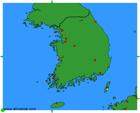
Weather observations and forecasts of more than 4000 airports (METAR and TAF reports).
The available stations are represented by yellow and red dots on the map.
Hover mouse over dot to see the name of the station.
Then click to see weather observations and forecasts.
To change the map : click on the green buttons with a black cross to zoom in, on the green button with a dash to zoom out, or on the green arrows for adjacent maps.