METAR-TAF
Airports :
Gunsan Airport
Gunsan, South Korea
latitude: 35-55N, longitude: 126-37E, elevation: 10 m
Current weather observation
METAR: RKJK 232055Z 14005KT 10SM CLR 27/24 A2982 RMK AO2A SLP102 T02660240 52009 $
Time: 06:43 (21:43 UTC)
Forecast
from 23 at 20 UTC to 23 at 21 UTC
from 24 at 01 UTC to 24 at 02 UTC
TAF: RKJK 231600Z 2316/2422 18009KT 9999 SKC QNH2981INS BECMG 2320/2321 VRB06KT 6000 BR SCT020 QNH2982INS BECMG 2401/2402 20009KT 9999 NSW FEW040 QNH2981INS TX33/2404Z TN26/2321Z
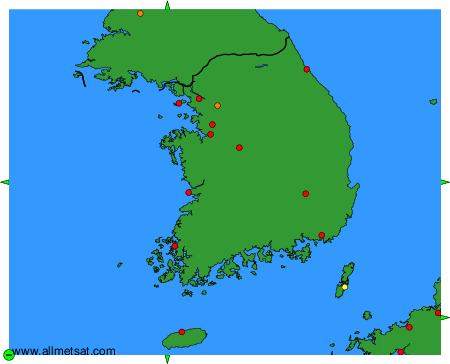
Weather observations and forecasts of more than 4000 airports (METAR and TAF reports).
The available stations are represented by yellow and red dots on the map.
Hover mouse over dot to see the name of the station.
Then click to see weather observations and forecasts.
To change the map : click on the green buttons with a black cross to zoom in, on the green button with a dash to zoom out, or on the green arrows for adjacent maps.