METAR-TAF
Airports :
Yangyang International Airport
Yangyang, South Korea
latitude: 38-03-41N, longitude: 128-40-09E, elevation: 73 m
Current weather observation
METAR: RKNY 171000Z 31001KT 9000 NSC 07/03 Q1020 NOSIG
Time: 19:28 (10:28 UTC)
Forecast
from 17 at 12 UTC to 17 at 14 UTC
from 17 at 22 UTC to 17 at 24 UTC
Broken clouds at a height of 3500 ft
Overcast at a height of 7000 ft
from 18 at 01 UTC to 18 at 04 UTC
from 18 at 08 UTC to 18 at 10 UTC
TAF: RKNY 170500Z 1706/1812 11006KT CAVOK TN05/1716Z TX10/1806Z BECMG 1712/1714 23010KT BECMG 1722/1724 30006KT 6000 FEW010 BKN035 OVC070 TEMPO 1801/1804 -RA BECMG 1808/1810 23007KT 9999 SCT030
Weather observations and forecasts of more than 4000 airports (METAR and TAF reports).
The available stations are represented by yellow and red dots on the map.
Hover mouse over dot to see the name of the station.
Then click to see weather observations and forecasts.
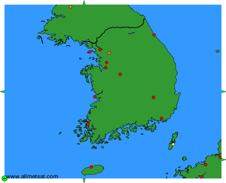
To change the map : click on the green buttons with a black cross to zoom in, on the green button with a dash to zoom out, or on the green arrows for adjacent maps.