METAR-TAF
Airports :
Jeju International Airport
Jeju, South Korea
latitude: 33-30N, longitude: 126-30E, elevation: 36 m
Current weather observation
The report was made 26 minutes ago, at 14:00 UTC
Wind 2 kt from the North
Temperature 28°C
Humidity 79%
Pressure 1007 hPa
Visibility 10 km or more
Few clouds at a height of 5000 ft
METAR: RKPC 201400Z 35002KT 9999 FEW050 28/24 Q1007 NOSIG
Time: 23:26 (14:26 UTC)
Forecast
The report was made 3 hours and 26 minutes ago, at 11:00 UTC
Forecast valid from 20 at 12 UTC to 21 at 18 UTC
Wind 8 kt from the North/Northeast
Visibility 10 km or more
Scattered clouds at a height of 3000 ft
Becoming
from 20 at 15 UTC to 20 at 17 UTC
from 20 at 15 UTC to 20 at 17 UTC
Wind 6 kt from the East
Becoming
from 20 at 23 UTC to 21 at 01 UTC
from 20 at 23 UTC to 21 at 01 UTC
Wind 8 kt from the North/Northeast
Temporary
from 21 at 02 UTC to 21 at 09 UTC
from 21 at 02 UTC to 21 at 09 UTC
Wind 12 kt from the Southwest
TAF: RKPC 201100Z 2012/2118 03008KT 9999 SCT030 TN27/2020Z TX34/2105Z BECMG 2015/2017 10006KT BECMG 2023/2101 02008KT TEMPO 2102/2109 23012KT
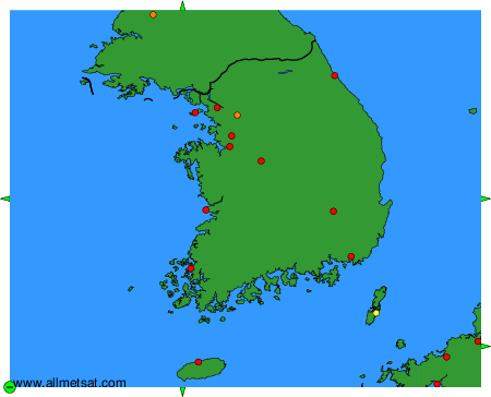
Weather observations and forecasts of more than 4000 airports (METAR and TAF reports).
The available stations are represented by yellow and red dots on the map.
Hover mouse over dot to see the name of the station.
Then click to see weather observations and forecasts.
To change the map : click on the green buttons with a black cross to zoom in, on the green button with a dash to zoom out, or on the green arrows for adjacent maps.