METAR-TAF
Airports :
Osan Air Base
Osan, South Korea
latitude: 37-06N, longitude: 127-02E, elevation: 11 m
Current weather observation
METAR: RKSO 022255Z 00000KT 6SM HZ CLR 29/26 A2985 RMK AO2A SLP111 T02850257 FZRANO $
Time: 08:36 (23:36 UTC)
Forecast
from 03 at 02 UTC to 03 at 03 UTC
from 03 at 14 UTC to 03 at 15 UTC
from 03 at 22 UTC to 03 at 23 UTC
Scattered clouds at a height of 6000 ft
TAF: RKSO 022100Z 0221/0403 VRB06KT 8000 BR SCT030 QNH2984INS BECMG 0302/0303 30010KT 9999 NSW FEW035 QNH2986INS BECMG 0314/0315 VRB06KT 8000 BR SKC QNH2983INS BECMG 0322/0323 VRB06KT 9999 NSW FEW030 SCT060 QNH2985INS TX35/0307Z TN24/0221Z
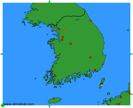
Weather observations and forecasts of more than 4000 airports (METAR and TAF reports).
The available stations are represented by yellow and red dots on the map.
Hover mouse over dot to see the name of the station.
Then click to see weather observations and forecasts.
To change the map : click on the green buttons with a black cross to zoom in, on the green button with a dash to zoom out, or on the green arrows for adjacent maps.