METAR-TAF
Airports :
Daegu International Airport
Daegu, South Korea
latitude: 35-54N, longitude: 128-39E, elevation: 35 m
Current weather observation
The report was made 47 minutes ago, at 08:00 UTC
Wind 13 kt from the Southeast
Temperature 22°C
Humidity 69%
Pressure 1010 hPa
Visibility 10 km or more
Broken clouds at a height of 5000 ft
Broken clouds at a height of 18000 ft
Broken clouds at a height of 18000 ft
METAR: RKTN 220800Z 14013KT 9999 BKN050 BKN180 22/16 Q1010
Time: 17:47 (08:47 UTC)
Forecast
The report was made 3 hours and 47 minutes ago, at 05:00 UTC
Forecast valid from 22 at 06 UTC to 23 at 12 UTC
Wind 8 kt from the East/Southeast
Visibility 10 km or more
Broken clouds at a height of 5000 ft
Broken clouds at a height of 15000 ft
Broken clouds at a height of 15000 ft
Becoming
from 22 at 23 UTC to 22 at 24 UTC
from 22 at 23 UTC to 22 at 24 UTC
Scattered clouds at a height of 3000 ft
Broken clouds at a height of 20000 ft
Broken clouds at a height of 20000 ft
Becoming
from 23 at 02 UTC to 23 at 03 UTC
from 23 at 02 UTC to 23 at 03 UTC
Wind 6 kt from the East/Southeast with gusts up to 16 kt
Becoming
from 23 at 10 UTC to 23 at 11 UTC
from 23 at 10 UTC to 23 at 11 UTC
Wind 8 kt from the East/Southeast
TAF: RKTN 220500Z 2206/2312 12008KT 9999 BKN050 BKN150 TN18/2221Z TX27/2306Z BECMG 2223/2224 SCT030 BKN200 BECMG 2302/2303 12006G16KT BECMG 2310/2311 12008KT
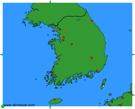
Weather observations and forecasts of more than 4000 airports (METAR and TAF reports).
The available stations are represented by yellow and red dots on the map.
Hover mouse over dot to see the name of the station.
Then click to see weather observations and forecasts.
To change the map : click on the green buttons with a black cross to zoom in, on the green button with a dash to zoom out, or on the green arrows for adjacent maps.