METAR-TAF
Airports :
Cheongju International Airport
Cheongju, South Korea
latitude: 36-42N, longitude: 127-30E, elevation: 58 m
Current weather observation
Broken clouds at a height of 7000 ft
METAR: RKTU 251137Z 36003KT 9999 BKN030 BKN070 22/19 Q1004 RMK CIG030
Time: 21:02 (12:02 UTC)
Forecast
Broken clouds at a height of 20000 ft
from 25 at 12 UTC to 25 at 16 UTC
Broken clouds at a height of 10000 ft
from 25 at 17 UTC to 25 at 18 UTC
from 26 at 00 UTC to 26 at 01 UTC
TAF: RKTU 251100Z 2512/2618 30006KT 9999 BKN030 BKN200 TN18/2521Z TX29/2606Z TEMPO 2512/2516 4800 -SHRA BR BKN030 BKN100 BECMG 2517/2518 33006KT 4800 BR BKN015 BECMG 2600/2601 9999 NSW SCT030
Weather observations and forecasts of more than 4000 airports (METAR and TAF reports).
The available stations are represented by yellow and red dots on the map.
Hover mouse over dot to see the name of the station.
Then click to see weather observations and forecasts.
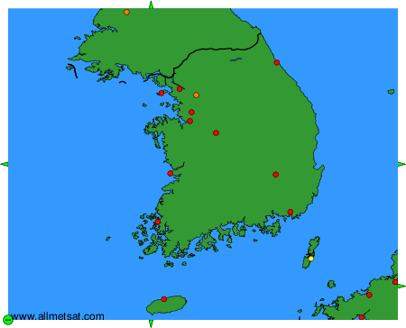
To change the map : click on the green buttons with a black cross to zoom in, on the green button with a dash to zoom out, or on the green arrows for adjacent maps.