METAR-TAF
Airports :
Pyongyang Sunan International Airport
Pyongyang, North Korea
latitude: 39-02N, longitude: 125-47E, elevation: 36 m
METAR: missing
Time: 23:01 (14:01 UTC)
Forecast
The report was made 10 hours and 1 minutes ago, at 04:00 UTC
Forecast valid from 13 at 06 UTC to 14 at 06 UTC
Wind 8 kt from the South
Visibility 10 km or more
no clouds below 1500 m and no cumulonimbus
Becoming
from 13 at 21 UTC to 13 at 23 UTC
from 13 at 21 UTC to 13 at 23 UTC
Visibility: 4000 m
Overcast at a height of 2000 ft
mist
TAF: ZKPY 130400Z 1306/1406 18004MPS CAVOK TX29/1306Z TN17/1321Z BECMG 1321/1323 4000 BR OVC020
Weather observations and forecasts of more than 4000 airports (METAR and TAF reports).
The available stations are represented by yellow and red dots on the map.
Hover mouse over dot to see the name of the station.
Then click to see weather observations and forecasts.
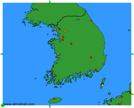
To change the map : click on the green buttons with a black cross to zoom in, on the green button with a dash to zoom out, or on the green arrows for adjacent maps.