The report was made 1 hour and 3 minutes ago, at 07:49 UTC
Forecast valid from 07 at 08 UTC to 08 at 06 UTC
Wind 3 mph from variable directions
Visibility: 6 miles
Scattered clouds at a height of 10000 ft
mist
From 07 at 1000 UTC
Wind 3 mph from variable directions
Visibility: 1 miles
Broken clouds at a height of 300 ft
mist
From 07 at 1400 UTC
Wind 7 mph from the South/Southwest
Visibility: 6 miles
Broken clouds at a height of 900 ft
From 07 at 1500 UTC
Wind 9 mph from the Southwest
Visibility: 6 miles
Broken clouds at a height of 1400 ft
TAF: KISO 070749Z 0708/0806 VRB03KT 6SM BR SCT100 FM071000 VRB03KT 1SM BR BKN003 FM071400 21006KT P6SM BKN009 FM071500 22008KT P6SM BKN014 AMD LTD TO CLD VIS AND WIND
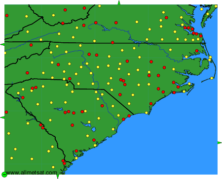
Weather observations and forecasts of more than 4000 airports (METAR and TAF reports).
The available stations are represented by yellow and red dots on the map.
Hover mouse over dot to see the name of the station.
Then click to see weather observations and forecasts.
To change the map : click on the green buttons with a black cross to zoom in, on the green button with a dash to zoom out, or on the green arrows for adjacent maps.