METAR-TAF
Airports :
Monseñor Óscar Arnulfo Romero International Airport
El Salvador, El Salvador
latitude: 13-26N, longitude: 089-03W, elevation: 25 m
Current weather observation
The report was made 24 minutes ago, at 17:00 UTC
Wind 4 kt from the South, varying between East and West/Southwest
Temperature 34°C
Humidity 44%
Pressure 1012 hPa
Visibility 10 km or more
Few clouds at a height of 7700 ft
METAR: MSLP 101700Z 17004KT 100V250 9999 FEW077 34/20 Q1012 A2989 NOSIG
Time: 11:24 (17:24 UTC)
Forecast
The report was made 1 hour and 59 minutes ago, at 15:25 UTC
Forecast valid from 10 at 18 UTC to 11 at 18 UTC
Wind 8 kt from the South/Southwest
Visibility 10 km or more
Few clouds at a height of 5500 ft
From 11 at 0000 UTC
Wind 2 kt from variable directions
Visibility 10 km or more
Scattered clouds at a height of 7000 ft
From 11 at 0600 UTC
Wind 6 kt from the East/Northeast
Visibility 10 km or more
Few clouds at a height of 7700 ft
From 11 at 1200 UTC
Wind 3 kt from the Northeast
TAF: MSLP 101525Z 1018/1118 21008KT 9999 FEW055 TX33/1019Z TN23/1112Z FM110000 VRB02KT 9999 SCT070 FM110600 06006KT 9999 FEW077 FM111200 04003KT CAVOK
Weather observations and forecasts of more than 4000 airports (METAR and TAF reports).
The available stations are represented by yellow and red dots on the map.
Hover mouse over dot to see the name of the station.
Then click to see weather observations and forecasts.
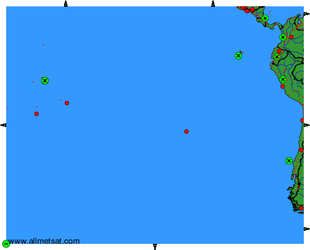
To change the map : click on the green buttons with a black cross to zoom in, on the green button with a dash to zoom out, or on the green arrows for adjacent maps.