METAR-TAF
Airports :
San Salvador
Antofagasta
Bogotá
Easter Island
El Salvador
Guatemala City
Lima
Punta Arenas
Quito
Rarotonga
Santiago
Tahiti
Tegucigalpa
South Pacific
Antarctica
Australia, Oceania
Central Pacific
Chile
Colombia
Costa Rica
Ecuador
Galápagos
Nicaragua
North America
North Atlantic
North Pacific
Panama
Peru
South America
South Atlantic
Ilopango International Airport San Salvador, El Salvador
latitude: 13-42N, longitude: 089-07W, elevation: 616 m
Current weather observation The report was made 57 minutes ago, at 00:00 UTC
Wind 4 kt from the North
Temperature 31 °C
Humidity 55 %
Pressure 1014 hPa
Visibility 10 km or more
Few clouds at a height of 3300 ft
METAR: MSSS 030000Z 35004KT 9999 FEW033 31/21 Q1013 A2993 NOSIG
Time: 18:57 (00:57 UTC) Forecast The report was made 3 hours and 32 minutes ago, at 21:25 UTC
Forecast valid from 03 at 00 UTC to 03 at 24 UTC
Wind 4 kt from the South
Visibility 10 km or more
Few clouds at a height of 2700 ft Few clouds at a height of 3700 ft, Cumulonimbus.
Temporary
Wind 10 kt from the North/Northwest with gusts up to 20 kt
Visibility: 5000 m
Broken clouds at a height of 2300 ft Scattered clouds at a height of 3300 ft, Cumulonimbus.
thunderstorm, rain
From 03 at 0400 UTC
Wind 5 kt from the North
Visibility 10 km or more
Few clouds at a height of 2000 ft Scattered clouds at a height of 4700 ft
From 03 at 0900 UTC
Wind 8 kt from the North/Northwest
Visibility 10 km or more
no clouds below 1500 m and no cumulonimbus
From 03 at 1800 UTC
Wind 6 kt from the South
Visibility 10 km or more
Few clouds at a height of 3000 ft
TAF: MSSS 022125Z 0300/0324 17004KT 9999 FEW027 FEW037CB TX34/0320 TN23/0311Z TEMPO 0302/0304 34010G20KT 5000 TSRA BKN023 SCT033CB FM030400 35005KT 9999 FEW020 SCT047 FM030900 34008KT CAVOK FM031800 17006KT 9999 FEW030
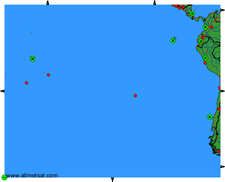
Weather observations and forecasts of more than 4000 airports (METAR and TAF reports).
The available stations are represented by yellow and red dots on the map.
Hover mouse over dot to see the name of the station.
Then click to see weather observations and forecasts.
To change the map : click on the green buttons with a black cross to zoom in, on the green button with a dash to zoom out, or on the green arrows for adjacent maps.