METAR-TAF
Airports :
Fa'a'ā International Airport
Tahiti, French Polynesia
latitude: 17-33S, longitude: 149-37W, elevation: 2 m
Current weather observation
METAR: NTAA 300230Z AUTO 34004KT 9999 FEW022 28/22 Q1010 NOSIG
Time: 17:01 (03:01 UTC)
Forecast
from 30 at 04 UTC to 30 at 05 UTC
from 30 at 12 UTC to 30 at 14 UTC
Broken clouds at a height of 4000 ft
from 30 at 16 UTC to 30 at 18 UTC
from 30 at 18 UTC to 30 at 24 UTC
Overcast at a height of 3500 ft
TAF: NTAA 292300Z 3000/3106 36006KT 9999 FEW023 BECMG 3004/3005 VRB04KT BECMG 3012/3014 SCT018 BKN040 BECMG 3016/3018 18016KT PROB40 TEMPO 3018/3024 20018G28KT 2500 SHRA BKN015TCU OVC035
Weather observations and forecasts of more than 4000 airports (METAR and TAF reports).
The available stations are represented by yellow and red dots on the map.
Hover mouse over dot to see the name of the station.
Then click to see weather observations and forecasts.
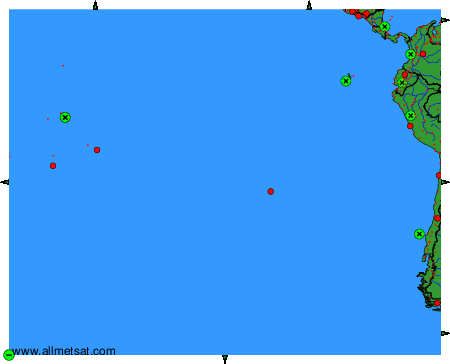
To change the map : click on the green buttons with a black cross to zoom in, on the green button with a dash to zoom out, or on the green arrows for adjacent maps.