METAR-TAF
Airports :
Presidente Carlos Ibáñez del Campo International Airport
Punta Arenas, Chile
latitude: 53-00S, longitude: 070-51W, elevation: 37 m
Current weather observation
Broken clouds at a height of 8000 ft
METAR: SCCI 120800Z VRB02KT 9999 FEW040 BKN080 01/M00 Q1010 NOSIG
Time: 04:42 (08:42 UTC)
Forecast
from 12 at 06 UTC to 12 at 12 UTC
from 12 at 15 UTC to 12 at 17 UTC
Broken clouds at a height of 2500 ft
from 13 at 00 UTC to 13 at 02 UTC
Broken clouds at a height of 2000 ft
TAF: SCCI 120420Z 1206/1306 29010KT 9999 SCT040 TNM02/1211Z TX02/1218Z TEMPO 1206/1212 VRB02KT 1200 BR BKN005 BECMG 1215/1217 14017KT 5000 SHRASN SHRA SCT012 BKN025 BECMG 1300/1302 08019G35KT 2000 SN SCT009 BKN020
Weather observations and forecasts of more than 4000 airports (METAR and TAF reports).
The available stations are represented by yellow and red dots on the map.
Hover mouse over dot to see the name of the station.
Then click to see weather observations and forecasts.
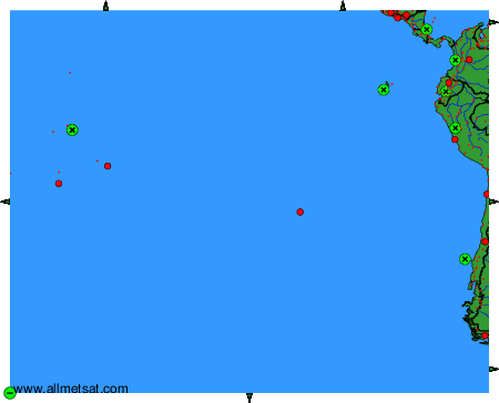
To change the map : click on the green buttons with a black cross to zoom in, on the green button with a dash to zoom out, or on the green arrows for adjacent maps.