METAR-TAF
Airports :
Comodoro Arturo Merino Benítez International Airport
Santiago, Chile
latitude: 33-23S, longitude: 070-47W, elevation: 475 m
Current weather observation
METAR: SCEL 152200Z 31008KT 9999 BKN120 18/04 Q1008 NOSIG
Time: 18:53 (22:53 UTC)
Forecast
Overcast at a height of 12000 ft
from 16 at 07 UTC to 16 at 09 UTC
Broken clouds at a height of 8000 ft
from 16 at 10 UTC to 16 at 12 UTC
from 16 at 19 UTC to 16 at 21 UTC
Overcast at a height of 6000 ft
TAF: SCEL 152200Z 1600/1624 34010KT 8000 BKN100 OVC120 TX14/1618Z TN09/1610Z BECMG 1607/1609 5000 SHRA SCT050 BKN080 BECMG 1610/1612 01015G30KT BECMG 1619/1621 36015KT 3000 RA SCT025 OVC060
Weather observations and forecasts of more than 4000 airports (METAR and TAF reports).
The available stations are represented by yellow and red dots on the map.
Hover mouse over dot to see the name of the station.
Then click to see weather observations and forecasts.
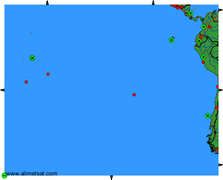
To change the map : click on the green buttons with a black cross to zoom in, on the green button with a dash to zoom out, or on the green arrows for adjacent maps.