METAR-TAF
Airports :
Carriel Sur International Airport
Concepción, Chile
latitude: 36-46S, longitude: 073-03W, elevation: 12 m
Current weather observation
The report was made 41 minutes ago, at 11:00 UTC
Wind 5 kt from the South/Southeast, varying between Southeast and South/Southwest
Temperature 4°C
Humidity 93%
Pressure 1029 hPa
Visibility 10 km or more
no clouds below 1500 m and no cumulonimbus
METAR: SCIE 221100Z 16005KT 130V210 CAVOK 04/03 Q1029
Time: 07:41 (11:41 UTC)
Forecast
The report was made 1 hour and 8 minutes ago, at 10:33 UTC
Forecast valid from 22 at 12 UTC to 23 at 12 UTC
Wind 5 kt from the South/Southwest
Visibility 10 km or more
no clouds below 1500 m and no cumulonimbus
Temporary
from 22 at 12 UTC to 22 at 14 UTC
from 22 at 12 UTC to 22 at 14 UTC
Visibility: 0800 m
fog
Becoming
from 22 at 17 UTC to 22 at 19 UTC
from 22 at 17 UTC to 22 at 19 UTC
Wind 15 kt from the Southwest
Broken clouds at a height of 3500 ft
Becoming
from 23 at 04 UTC to 23 at 06 UTC
from 23 at 04 UTC to 23 at 06 UTC
Wind 5 kt from the South/Southeast
TAF: SCIE 221033Z 2212/2312 20005KT CAVOK TX13/2219Z TN04/2310Z TEMPO 2212/2214 0800 FG NSC BECMG 2217/2219 22015KT BKN035 BECMG 2304/2306 16005KT CAVOK
Weather observations and forecasts of more than 4000 airports (METAR and TAF reports).
The available stations are represented by yellow and red dots on the map.
Hover mouse over dot to see the name of the station.
Then click to see weather observations and forecasts.
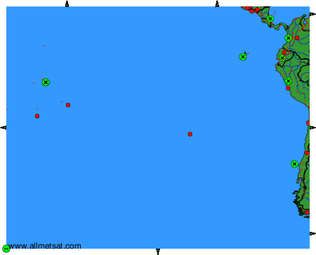
To change the map : click on the green buttons with a black cross to zoom in, on the green button with a dash to zoom out, or on the green arrows for adjacent maps.