METAR-TAF
Airports :
José Joaquín de Olmedo International Airport
Guayaquil, Ecuador
latitude: 02-09S, longitude: 079-53W, elevation: 13 ft
Current weather observation
The report was made 48 minutes ago, at 01:00 UTC
Wind 3 mph from the South/Southwest
Temperature 84°F
Humidity 70%
Pressure 29.77 in. Hg
Visibility 6.2 miles or more
Few clouds at a height of 3000 ft
METAR: SEGU 060100Z 20003KT 9999 FEW030 29/23 Q1008 NOSIG RMK A2978
Time: 20:48 (01:48 UTC)
Forecast
The report was made 2 hours and 38 minutes ago, at 23:10 UTC
Forecast valid from 06 at 00 UTC to 06 at 24 UTC
Wind 5 mph from the North/Northeast
Visibility 6.2 miles or more
Scattered clouds at a height of 2300 ft
Scattered clouds at a height of 10000 ft
Scattered clouds at a height of 10000 ft
Becoming
from 06 at 11 UTC to 06 at 13 UTC
from 06 at 11 UTC to 06 at 13 UTC
Wind 6 mph from the South/Southwest
Few clouds at a height of 1200 ft
Scattered clouds at a height of 2600 ft
Scattered clouds at a height of 2600 ft
Becoming
from 06 at 16 UTC to 06 at 18 UTC
from 06 at 16 UTC to 06 at 18 UTC
Scattered clouds at a height of 2600 ft
Scattered clouds at a height of 10000 ft
Scattered clouds at a height of 10000 ft
TAF: SEGU 052310Z 0600/0624 03004KT 9999 SCT023 SCT100 BECMG 0611/0613 21005KT FEW012 SCT026 BECMG 0616/0618 SCT026 SCT100 TX32/0620Z TN25/0610Z
Weather observations and forecasts of more than 4000 airports (METAR and TAF reports).
The available stations are represented by yellow and red dots on the map.
Hover mouse over dot to see the name of the station.
Then click to see weather observations and forecasts.
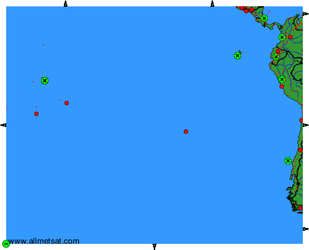
To change the map : click on the green buttons with a black cross to zoom in, on the green button with a dash to zoom out, or on the green arrows for adjacent maps.