METAR-TAF
Airports :
El Dorado International Airport
Bogotá, Colombia
latitude: 04-43N, longitude: 074-09W, elevation: 2547 m
Current weather observation
The report was made 54 minutes ago, at 22:00 UTC
Wind 5 kt from the East, varying between Northeast and South/Southeast
Temperature 19°C
Humidity 52%
Pressure 1027 hPa
Visibility 10 km or more
Broken clouds at a height of 4500 ft
METAR: SKBO 252200Z 08005KT 040V160 9999 BKN045 19/09 Q1027 NOSIG
Time: 17:54 (22:54 UTC)
Forecast
The report was made 5 hours and 59 minutes ago, at 16:55 UTC
Forecast valid from 25 at 18 UTC to 26 at 18 UTC
Wind 10 kt from the Southeast
Visibility 10 km or more
Scattered clouds at a height of 2000 ft
Broken clouds at a height of 5000 ft
Broken clouds at a height of 5000 ft
From 26 at 0100 UTC
Wind 3 kt from variable directions
Visibility 10 km or more
Scattered clouds at a height of 3000 ft
TAF: SKBO 251655Z 2518/2618 13010KT 9999 SCT020 BKN050 FM260100 VRB03KT 9999 SCT030 TX19/2519Z TN06/2610Z
Weather observations and forecasts of more than 4000 airports (METAR and TAF reports).
The available stations are represented by yellow and red dots on the map.
Hover mouse over dot to see the name of the station.
Then click to see weather observations and forecasts.
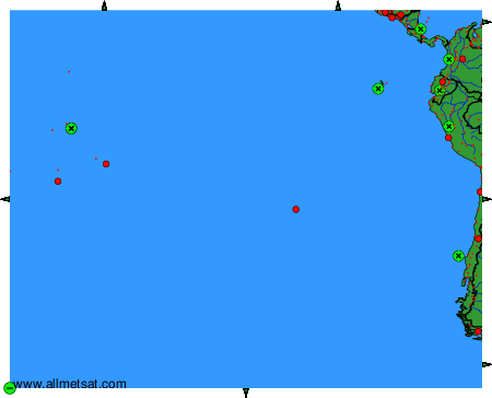
To change the map : click on the green buttons with a black cross to zoom in, on the green button with a dash to zoom out, or on the green arrows for adjacent maps.