METAR-TAF
Airports :
Ernesto Cortissoz International Airport
Barranquilla, Colombia
latitude: 10-53N, longitude: 074-47W, elevation: 14 m
Current weather observation
The report was made 7 minutes ago, at 16:00 UTC
Wind 3 kt from variable directions
Temperature 34°C
Humidity 60%
Pressure 1008 hPa
Visibility 10 km or more
no clouds below 1500 m and no cumulonimbus
METAR: SKBQ 301600Z VRB03KT CAVOK 34/25 Q1008
Time: 11:07 (16:07 UTC)
Forecast
The report was made 5 hours and 12 minutes ago, at 10:55 UTC
Forecast valid from 30 at 12 UTC to 31 at 12 UTC
Wind 2 kt from variable directions
Visibility 10 km or more
no clouds below 1500 m and no cumulonimbus
Becoming
from 30 at 17 UTC to 30 at 19 UTC
from 30 at 17 UTC to 30 at 19 UTC
Wind 12 kt from the North/Northeast
Becoming
from 31 at 06 UTC to 31 at 08 UTC
from 31 at 06 UTC to 31 at 08 UTC
Wind 2 kt from variable directions
TAF: SKBQ 301055Z 3012/3112 VRB02KT CAVOK BECMG 3017/3019 02012KT BECMG 3106/3108 VRB02KT TX34/3018Z TN27/3111Z
Weather observations and forecasts of more than 4000 airports (METAR and TAF reports).
The available stations are represented by yellow and red dots on the map.
Hover mouse over dot to see the name of the station.
Then click to see weather observations and forecasts.
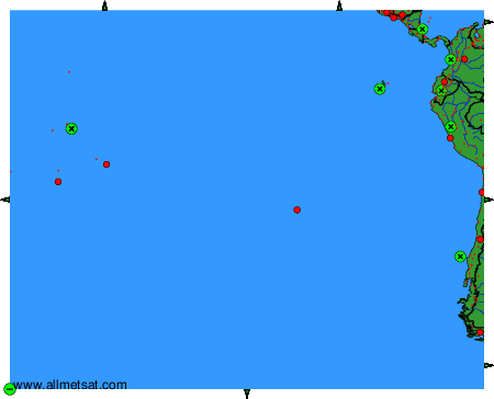
To change the map : click on the green buttons with a black cross to zoom in, on the green button with a dash to zoom out, or on the green arrows for adjacent maps.