METAR-TAF
Airports :
Jorge Chávez International Airport
Lima, Peru
latitude: 12-00S, longitude: 077-07W, elevation: 12 m
Current weather observation
The report was made 48 minutes ago, at 16:00 UTC
Wind 10 kt from the South
Temperature 22°C
Humidity 88%
Pressure 1012 hPa
Visibility 10 km or more
Scattered clouds at a height of 1200 ft
Overcast at a height of 3000 ft
Overcast at a height of 3000 ft
METAR: SPJC 151600Z 19010KT 9999 SCT012 OVC030 22/20 Q1012 NOSIG RMK BIRD HAZARD RWY 16L/16R PP000
Time: 11:48 (16:48 UTC)
Forecast
The report was made 5 hours and 28 minutes ago, at 11:20 UTC
Forecast valid from 15 at 12 UTC to 16 at 12 UTC
Wind 7 kt from the South
Visibility 10 km or more
Overcast at a height of 2000 ft
Becoming
from 15 at 17 UTC to 15 at 19 UTC
from 15 at 17 UTC to 15 at 19 UTC
Wind 10 kt from the Southwest
Temporary
from 16 at 01 UTC to 16 at 04 UTC
from 16 at 01 UTC to 16 at 04 UTC
Broken clouds at a height of 1200 ft
TAF: SPJC 151120Z 1512/1612 17007KT 9999 OVC020 TX26/1519Z TN21/1611Z BECMG 1517/1519 23010KT TEMPO 1601/1604 BKN012
Weather observations and forecasts of more than 4000 airports (METAR and TAF reports).
The available stations are represented by yellow and red dots on the map.
Hover mouse over dot to see the name of the station.
Then click to see weather observations and forecasts.
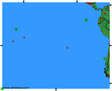
To change the map : click on the green buttons with a black cross to zoom in, on the green button with a dash to zoom out, or on the green arrows for adjacent maps.