METAR-TAF
Airports :
Coronel FAP Francisco Secada Vignetta International Airport
Iquitos, Peru
latitude: 03-45S, longitude: 073-15W, elevation: 125 m
Current weather observation
Broken clouds at a height of 10000 ft
METAR: SPQT 042100Z 14003KT 090V180 9999 BKN020 BKN100 28/23 Q1013 NOSIG RMK PP000
Time: 16:33 (21:33 UTC)
Forecast
Broken clouds at a height of 10000 ft
from 04 at 22 UTC to 05 at 01 UTC
Broken clouds at a height of 10000 ft
from 05 at 02 UTC to 05 at 06 UTC
Broken clouds at a height of 8000 ft
from 05 at 08 UTC to 05 at 12 UTC
Broken clouds at a height of 8000 ft
from 05 at 13 UTC to 05 at 16 UTC
TAF: SPQT 041700Z 0418/0518 15005KT 9999 BKN020 BKN100 TX29/0419Z TN21/0511Z BECMG 0422/0501 BKN010 BKN100 TEMPO 0502/0506 DZ BKN006 BKN080 TEMPO 0508/0512 1000 BCFG BKN002 BKN080 BECMG 0513/0516 BKN020
Weather observations and forecasts of more than 4000 airports (METAR and TAF reports).
The available stations are represented by yellow and red dots on the map.
Hover mouse over dot to see the name of the station.
Then click to see weather observations and forecasts.
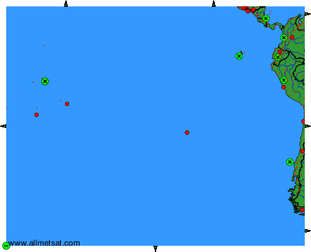
To change the map : click on the green buttons with a black cross to zoom in, on the green button with a dash to zoom out, or on the green arrows for adjacent maps.