METAR-TAF
Airports :
Rodríguez Ballón International Airport
Arequipa, Peru
latitude: 16-19S, longitude: 071-33W, elevation: 2538 m
Current weather observation
The report was made 50 minutes ago, at 15:00 UTC
Wind 5 kt from the West/Southwest, varying between South/Southwest and West/Northwest
Temperature 21°C
Humidity 10%
Pressure 1028 hPa
Visibility 10 km or more
no clouds below 1500 m and no cumulonimbus
METAR: SPQU 191500Z 25005KT 210V300 CAVOK 21/M12 Q1028 NOSIG RMK PP000
Time: 10:50 (15:50 UTC)
Forecast
The report was made 4 hours and 30 minutes ago, at 11:20 UTC
Forecast valid from 19 at 12 UTC to 20 at 12 UTC
Wind 5 kt from the West/Southwest
Visibility 10 km or more
no clouds below 1500 m and no cumulonimbus
From 19 at 1700 UTC
Wind 10 kt from the West
Visibility 10 km or more
no clouds below 1500 m and no cumulonimbus
From 20 at 0000 UTC
Wind 6 kt from the Northeast
TAF: SPQU 191120Z 1912/2012 24005KT CAVOK TX21/1917Z TN07/2010Z FM191700 27010KT CAVOK FM200000 05006KT CAVOK
Weather observations and forecasts of more than 4000 airports (METAR and TAF reports).
The available stations are represented by yellow and red dots on the map.
Hover mouse over dot to see the name of the station.
Then click to see weather observations and forecasts.
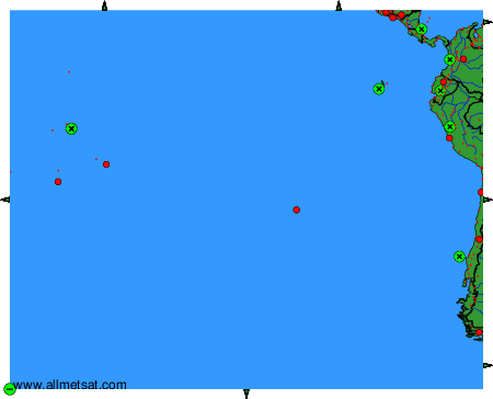
To change the map : click on the green buttons with a black cross to zoom in, on the green button with a dash to zoom out, or on the green arrows for adjacent maps.