METAR-TAF
Airports :
La Chinita International Airport
Maracaibo, Venezuela
latitude: 10-34N, longitude: 071-44W, elevation: 66 m
Current weather observation
The report was made 6 hours and 48 minutes ago, at 23:00 UTC
Temperature 31°C
Humidity 75%
Pressure 1011 hPa
Visibility 10 km or more
Scattered clouds at a height of 1600 ft
METAR: SVMC 282300Z 070//KT 9999 SCT016 31/26 Q1011
Time: 01:48 (05:48 UTC)
Forecast
The report was made 7 hours and 48 minutes ago, at 22:00 UTC
Forecast valid from 29 at 00 UTC to 30 at 00 UTC
Wind 5 kt from the South
Visibility 10 km or more
Broken clouds at a height of 1600 ft
Temporary
from 29 at 00 UTC to 29 at 04 UTC
from 29 at 00 UTC to 29 at 04 UTC
Wind 6 kt from the South
Visibility: 8000 m
Broken clouds at a height of 1300 ft
thunderstorm, rain
TAF: SVMC 282200Z 2900/3000 17005KT 9999 BKN016 TX34/2919Z TN24/2910Z TEMPO 2900/2904 18006KT 8000 TSRA BKN013
Weather observations and forecasts of more than 4000 airports (METAR and TAF reports).
The available stations are represented by yellow and red dots on the map.
Hover mouse over dot to see the name of the station.
Then click to see weather observations and forecasts.
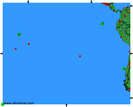
To change the map : click on the green buttons with a black cross to zoom in, on the green button with a dash to zoom out, or on the green arrows for adjacent maps.