METAR-TAF
Airports :
Hobart International Airport
Hobart, Australia
latitude: 42-50S, longitude: 147-29E, elevation: 4 m
Current weather observation
The report was made 30 minutes ago, at 13:00 UTC
Wind 7 kt from the Northeast
Temperature 17°C
Humidity 72%
Pressure 1016 hPa
Visibility 10 km or more
Overcast at a height of 2600 ft
METAR: YMHB 021300Z AUTO 04007KT 9999 // OVC026 17/12 Q1016
Time: 00:30 (13:30 UTC)
Forecast
The report was made 2 hours and 11 minutes ago, at 11:19 UTC
Forecast valid from 02 at 12 UTC to 03 at 12 UTC
Wind 7 kt from the Northeast
Visibility 10 km or more
Scattered clouds at a height of 1500 ft
From 02 at 1600 UTC
Wind 6 kt from the North
Visibility 10 km or more
Few clouds at a height of 3000 ft
From 02 at 2300 UTC
Wind 10 kt from the South
Visibility 10 km or more
Few clouds at a height of 3000 ft
From 03 at 0200 UTC
Wind 15 kt from the South with gusts up to 25 kt
Visibility 10 km or more
no clouds below 1500 m and no cumulonimbus
From 03 at 0900 UTC
Wind 12 kt from the South
Visibility 10 km or more
Broken clouds at a height of 2500 ft
TAF: YMHB 021119Z 0212/0312 05007KT 9999 SCT015 FM021600 35006KT 9999 FEW030 FM022300 18010KT 9999 FEW030 FM030200 18015G25KT CAVOK FM030900 18012KT 9999 BKN025
Weather observations and forecasts of more than 4000 airports (METAR and TAF reports).
The available stations are represented by yellow and red dots on the map.
Hover mouse over dot to see the name of the station.
Then click to see weather observations and forecasts.
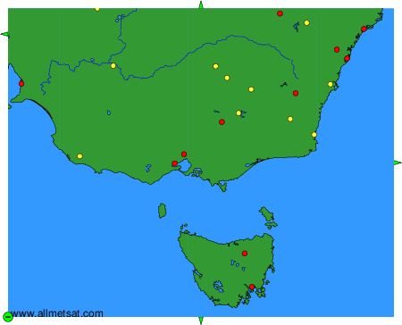
To change the map : click on the green buttons with a black cross to zoom in, on the green button with a dash to zoom out, or on the green arrows for adjacent maps.