METAR-TAF
Airports :
Launceston Airport
Launceston, Australia
latitude: 41-32S, longitude: 147-12E, elevation: 171 m
Current weather observation
Scattered clouds at a height of 4100 ft
Overcast at a height of 4600 ft
METAR: YMLT 010730Z AUTO 35011KT 9999 // FEW007 SCT041 OVC046 09/08 Q1028
Time: 18:09 (08:09 UTC)
Forecast
Broken clouds at a height of 2500 ft
Broken clouds at a height of 2000 ft
Broken clouds at a height of 1400 ft
TAF: YMLT 010527Z 0106/0206 33010KT 9999 -SHRA FEW014 BKN025 FM011100 34008KT 9999 NSW FEW015 BKN020 FM012300 33012KT 9999 -SHRA BKN020 FM020200 34015G25KT 9999 NSW FEW040 INTER 0106/0111 8000 -SHRA BKN014
Weather observations and forecasts of more than 4000 airports (METAR and TAF reports).
The available stations are represented by yellow and red dots on the map.
Hover mouse over dot to see the name of the station.
Then click to see weather observations and forecasts.
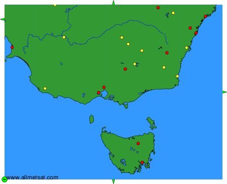
To change the map : click on the green buttons with a black cross to zoom in, on the green button with a dash to zoom out, or on the green arrows for adjacent maps.