METAR-TAF
Airports :
Melbourne Airport
Melbourne, Australia
latitude: 37-40-24S, longitude: 144-50-36E, elevation: 132 m
Current weather observation
The report was made 23 minutes ago, at 22:00 UTC
Wind 11 kt from the North
Temperature 9°C
Humidity 76%
Pressure 1021 hPa
Visibility 10 km or more
METAR: YMML 022200Z AUTO 01011KT 9999 // NCD 09/05 Q1021
Time: 08:23 (22:23 UTC)
Forecast
The report was made 2 hours and 19 minutes ago, at 20:04 UTC
Forecast valid from 02 at 21 UTC to 04 at 00 UTC
Wind 12 kt from the North
Visibility 10 km or more
no clouds below 1500 m and no cumulonimbus
From 03 at 0100 UTC
Wind 16 kt from the West/Northwest
Visibility 10 km or more
Scattered clouds at a height of 4000 ft
light rain showers
From 03 at 0900 UTC
Wind 8 kt from the Northwest
Visibility 10 km or more
Scattered clouds at a height of 4500 ft
light rain showers
TAF: YMML 022004Z 0221/0400 36012KT CAVOK FM030100 29016KT 9999 -SHRA SCT040 FM030900 31008KT 9999 -SHRA SCT045
Weather observations and forecasts of more than 4000 airports (METAR and TAF reports).
The available stations are represented by yellow and red dots on the map.
Hover mouse over dot to see the name of the station.
Then click to see weather observations and forecasts.
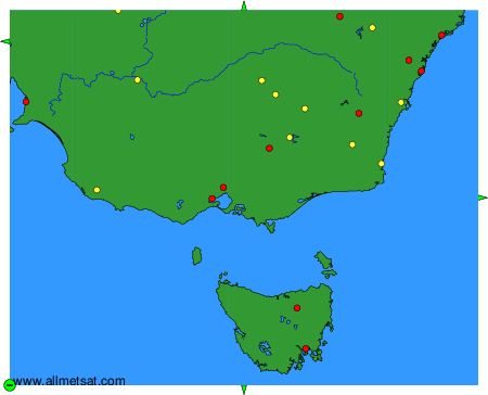
To change the map : click on the green buttons with a black cross to zoom in, on the green button with a dash to zoom out, or on the green arrows for adjacent maps.