METAR-TAF
Airports :
Newcastle Airport
Newcastle, Australia
latitude: 32-47-42S, longitude: 151-50-04E, elevation: 9 m
Current weather observation
The report was made 1 hour and 24 minutes ago, at 13:00 UTC
Wind 4 kt from the West/Northwest
Temperature 13°C
Humidity 88%
Pressure 1023 hPa
Visibility 10 km or more
Few clouds at a height of 4500 ft
METAR: YWLM 051300Z AUTO 30004KT 9999 // FEW045 13/11 Q1023
Time: 00:24 (14:24 UTC)
Forecast
The report was made 3 hours and 22 minutes ago, at 11:02 UTC
Forecast valid from 05 at 12 UTC to 06 at 12 UTC
Wind 5 kt from the West/Northwest
Visibility 10 km or more
Scattered clouds at a height of 4000 ft
Becoming
from 06 at 03 UTC to 06 at 05 UTC
from 06 at 03 UTC to 06 at 05 UTC
Wind 5 kt from the East/Southeast
Visibility 10 km or more
no clouds below 1500 m and no cumulonimbus
From 06 at 0800 UTC
Wind 5 kt from the Northeast
TAF: YWLM 051102Z 0512/0612 29005KT 9999 SCT040 BECMG 0603/0605 12005KT CAVOK FM060800 05005KT CAVOK
Weather observations and forecasts of more than 4000 airports (METAR and TAF reports).
The available stations are represented by yellow and red dots on the map.
Hover mouse over dot to see the name of the station.
Then click to see weather observations and forecasts.
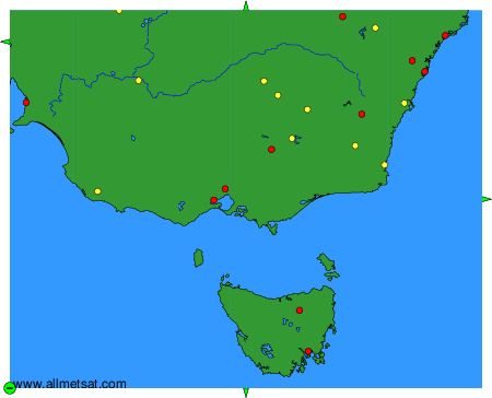
To change the map : click on the green buttons with a black cross to zoom in, on the green button with a dash to zoom out, or on the green arrows for adjacent maps.