METAR: CYHU 012200Z AUTO 25005KT 9SM BKN130 BKN170 OVC190 27/17 A2986 RMK SLP114 DENSITY ALT 1600FT
Time: 18:27 (22:27 UTC)
Forecast
The report was made 4 hours and 47 minutes ago, at 17:40 UTC
Forecast valid from 01 at 18 UTC to 02 at 18 UTC
Wind 8 kt from the Southwest with gusts up to 18 kt
Visibility: 10 km
Broken clouds at a height of 11000 ft
Temporary from 01 at 18 UTC to 01 at 20 UTC
Visibility: 10 km
light rain showers
Becoming from 01 at 21 UTC to 01 at 23 UTC
Wind 6 kt from the South
From 02 at 0100 UTC
Wind 8 kt from the South with gusts up to 18 kt
Visibility: 10 km
Scattered clouds at a height of 4000 ft Broken clouds at a height of 8000 ft
Temporary from 02 at 01 UTC to 02 at 03 UTC
Visibility: 10 km
light rain showers
From 02 at 0300 UTC
Wind 7 kt from the South
Visibility: 10 km
Broken clouds at a height of 18000 ft
From 02 at 1000 UTC
Wind 3 kt from variable directions
Visibility: 9.7 km
Few clouds at a height of 500 ft Broken clouds at a height of 12000 ft
mist
From 02 at 1300 UTC
Wind 7 kt from the South
Visibility: 10 km
Broken clouds at a height of 12000 ft
TAF: CYHU 011740Z 0118/0218 22008G18KT P6SM BKN110 TEMPO 0118/0120 P6SM -SHRA BECMG 0121/0123 17006KT FM020100 17008G18KT P6SM SCT040 BKN080 TEMPO 0201/0203 P6SM -SHRA FM020300 17007KT P6SM BKN180 FM021000 VRB03KT 6SM BR FEW005 BKN120 FM021300 19007KT P6SM BKN120 RMK FCST BASED ON AUTO OBS. NXT FCST BY 020000Z
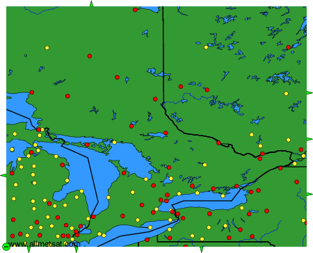
Weather observations and forecasts of more than 4000 airports (METAR and TAF reports).
The available stations are represented by yellow and red dots on the map.
Hover mouse over dot to see the name of the station.
Then click to see weather observations and forecasts.
To change the map : click on the green buttons with a black cross to zoom in, on the green button with a dash to zoom out, or on the green arrows for adjacent maps.