METAR-TAF
Airports :
Kapuskasing Airport
Kapuskasing, Ontario, Canada
latitude: 49-25N, longitude: 082-28W, elevation: 227 m
Current weather observation
The report was made 38 minutes ago, at 19:00 UTC
Wind 11 kt from the North/Northeast with gusts up to 18 kt, varying between North and East/Northeast
Temperature 23°C
Humidity 44%
Pressure 1016 hPa
Visibility: 24.1 km
Few clouds at a height of 5600 ft
Few clouds at a height of 22000 ft
Few clouds at a height of 22000 ft
METAR: CYYU 021900Z 02011G18KT 360V060 15SM FEW056 FEW220 23/10 A2999 RMK CU1CS1 SLP162 DENSITY ALT 1900FT
Time: 15:38 (19:38 UTC)
Forecast
The report was made 5 hours and 58 minutes ago, at 13:40 UTC
Forecast valid from 02 at 14 UTC to 03 at 02 UTC
Wind 5 kt from the North/Northeast
Visibility: 10 km
Clear sky
Becoming
from 02 at 15 UTC to 02 at 17 UTC
from 02 at 15 UTC to 02 at 17 UTC
Wind 10 kt from the North/Northeast
Becoming
from 02 at 23 UTC to 03 at 01 UTC
from 02 at 23 UTC to 03 at 01 UTC
Wind 3 kt from variable directions
TAF: CYYU 021340Z 0214/0302 03005KT P6SM SKC BECMG 0215/0217 03010KT BECMG 0223/0301 VRB03KT RMK NXT FCST BY 022000Z
Weather observations and forecasts of more than 4000 airports (METAR and TAF reports).
The available stations are represented by yellow and red dots on the map.
Hover mouse over dot to see the name of the station.
Then click to see weather observations and forecasts.
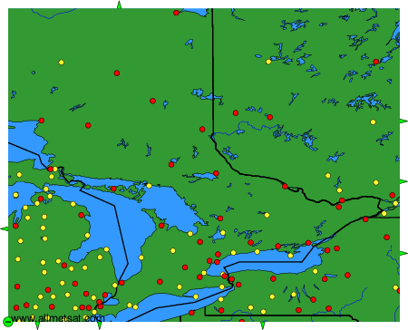
To change the map : click on the green buttons with a black cross to zoom in, on the green button with a dash to zoom out, or on the green arrows for adjacent maps.