The report was made 13 hours and 39 minutes ago, at 19:40 UTC
Forecast valid from 08 at 20 UTC to 08 at 22 UTC
Wind 10 kt from the South
Visibility: 10 km
Clear sky
TAF: CYZE 081940Z 0820/0822 19010KT P6SM SKC RMK FCST BASED ON AUTO OBS. NXT FCST BY 091000Z
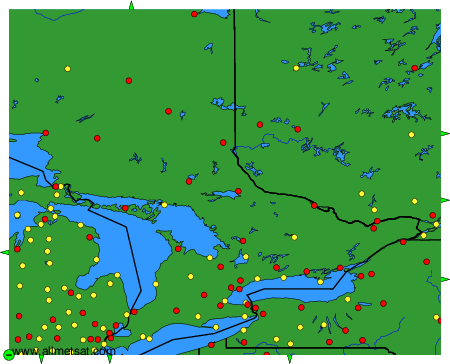
Weather observations and forecasts of more than 4000 airports (METAR and TAF reports).
The available stations are represented by yellow and red dots on the map.
Hover mouse over dot to see the name of the station.
Then click to see weather observations and forecasts.
To change the map : click on the green buttons with a black cross to zoom in, on the green button with a dash to zoom out, or on the green arrows for adjacent maps.