METAR: CYZR 302300Z AUTO 04004KT 9SM CLR 25/12 A3000 RMK SLP158 DENSITY ALT 1800FT
Time: 20:06 (00:06 UTC)
Forecast
The report was made 4 hours and 26 minutes ago, at 19:40 UTC
Forecast valid from 30 at 20 UTC to 31 at 02 UTC
Wind 9 kt from the North
Visibility: 10 km
Few clouds at a height of 5000 ft
Becoming from 31 at 00 UTC to 31 at 02 UTC
Wind 6 kt from the North/Northeast
TAF: CYZR 301940Z 3020/3102 01009KT P6SM FEW050 BECMG 3100/3102 02006KT RMK FCST BASED ON AUTO OBS. NXT FCST BY 310800Z
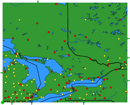
Weather observations and forecasts of more than 4000 airports (METAR and TAF reports).
The available stations are represented by yellow and red dots on the map.
Hover mouse over dot to see the name of the station.
Then click to see weather observations and forecasts.
To change the map : click on the green buttons with a black cross to zoom in, on the green button with a dash to zoom out, or on the green arrows for adjacent maps.