METAR-TAF
Airports :
Binghamton
Adrian
Albany
Alma
Alpena
Ann Arbor
Bad Axe
Bancroft
Battle Creek
Beaver Island
Bellaire
Big Rapids
Binghamton
Borden
Bradford
Buffalo
Burlington
Cadillac
Caro
Chapleau
Charlevoix
Charlotte
Chatham-Kent
Cheboygan
Chibougamau
Cobourg
Coldwater
Collingwood
Dansville
Detroit
Detroit
Detroit
Detroit / Grosse Ile
Dunkirk
Earlton
Elmira / Corning
Erie
Erieau
Flint
Fort Drum
Fulton
Gatineau
Gaylord
Goderich
Gore Bay
Grand Rapids
Grayling
Hamilton
Harbor Springs
High Falls
Hillsdale
Houghton Lake
Howell
Ithaca
Jackson
Jamestown
Kalamazoo / Battle Creek
Kapuskasing
Killarney
Kingston
Lagoon City
Lansing
London
Long Point
Mackinac Island
Maniwaki
Marshall
Mason
Massena
Matagami
Midland
Monroe
Montreal-Mirabel
Mont-Tremblant
Moosonee
Mount Clemens
Mount Forest
Mount Pleasant
Muskoka
Nagagami
Newberry
Niagara Falls
Norfolk County
North Bay
Olean
Oscoda
Oshawa
Ottawa
Owosso
Parent
Pellston
Penn Yan
Petawawa
Peterborough
Point Petre
Pontiac
Port Colborne
Port Hope
Port Huron
Port Weller
Rochester
Rogers City
Rome
Rouyn-Noranda
Saginaw
Saginaw
Saint-Anicet
Sainte-Anne-de-Bellevue
Saranac Lake
Sarnia
Sault Ste. Marie
Sault Ste. Marie
Sault Ste. Marie
Schenectady
St. Catharines
Sturgis
Sudbury
Syracuse
Timmins
Toronto
Toronto Buttonville
Toronto City Centre
Traverse City
Trenton
Troy
Val-d'Or
Waterloo
Watertown
Wawa
Wellsville
Wiarton
Windsor
Ontario, South
Illinois
Indiana
Michigan
New England
New York
North America
Ohio
Ontario, North
Pennsylvania
Quebec
Quebec, South
Greater Binghamton Airport Binghamton, New York, United States
latitude: 42-12-28N, longitude: 075-58-53W, elevation: 496 m
Current weather observation The report was made 58 minutes ago, at 13:53 UTC
Wind 8 kt from the North
Temperature 18 °C
Humidity 94 %
Pressure 1011 hPa
Visibility: 16.1 km
Broken clouds at a height of 700 ft Broken clouds at a height of 2500 ft Overcast at a height of 4100 ft
METAR: KBGM 301353Z 01008KT 10SM BKN007 BKN025 OVC041 18/17 A2986 RMK AO2 CIG 006V011 SLP107 T01830167
Time: 10:51 (14:51 UTC) Forecast The report was made 2 hours and 53 minutes ago, at 11:58 UTC
Forecast valid from 30 at 12 UTC to 31 at 12 UTC
Wind 7 kt from the North
Visibility: 9.7 km
Overcast at a height of 1500 ft
mist
Temporary
Broken clouds at a height of 500 ft
From 30 at 1400 UTC
Wind 8 kt from the North with gusts up to 15 kt
Visibility: 10 km
Broken clouds at a height of 2300 ft
From 30 at 2200 UTC
Wind 8 kt from the North/Northwest with gusts up to 15 kt
Visibility: 10 km
Scattered clouds at a height of 4000 ft
From 31 at 0300 UTC
Wind 3 kt from variable directions
Visibility: 8.0 km
Scattered clouds at a height of 7000 ft
mist
TAF: KBGM 301158Z 3012/3112 35007KT 6SM BR OVC015 TEMPO 3012/3014 BKN005 FM301400 35008G15KT P6SM BKN023 FM302200 34008G15KT P6SM SCT040 FM310300 VRB03KT 5SM BR SCT070
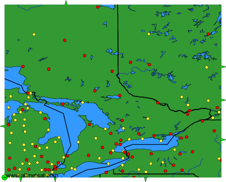
Weather observations and forecasts of more than 4000 airports (METAR and TAF reports).
The available stations are represented by yellow and red dots on the map.
Hover mouse over dot to see the name of the station.
Then click to see weather observations and forecasts.
To change the map : click on the green buttons with a black cross to zoom in, on the green button with a dash to zoom out, or on the green arrows for adjacent maps.